Take videos and photos with geographical data
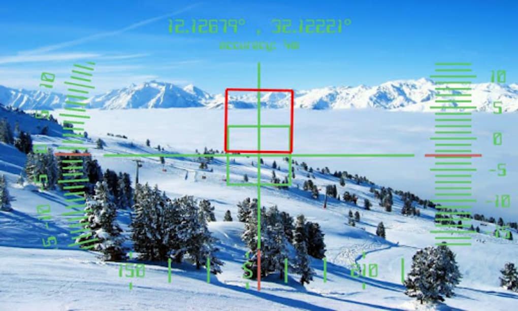
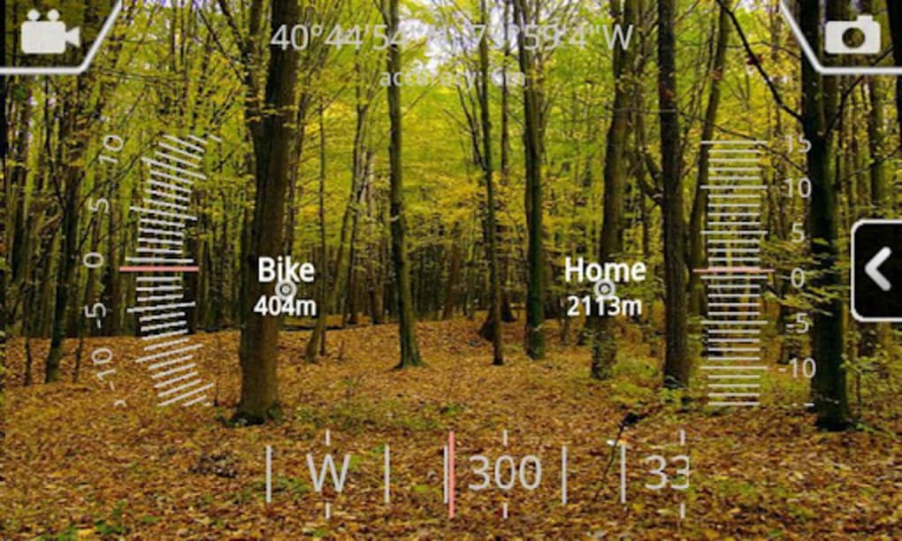
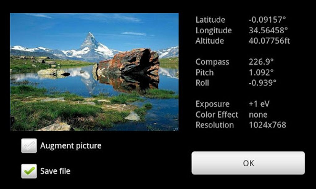
GeoCam is a free mobile app that allows users to measure geographical data, like compass orientation, inclination, elevation, and overlay that information onto photos and videos of the surrounding area. Like a glorified filter, GeoCam is both accurate and attractive and gives photos and videos a technological look, full of data. Laid out much like a cockpit HUD, it can be used when hiking, visiting new locales and exploring.
Jump into augmented reality
GeoCam is really two apps in one and creates a user experience unlike any other. Like having a theodolite optical instrument in your pocket at all times, GeoCam takes that information and displays it attractively on your device through your photos and videos. With the ability to determine compass orientation, GPD positions and more, it’s not only fun to use, it’s useful too. Record video and take pictures with an embedded layer of data that is displayed like a cockpit HUD and share with your friends and family on social media. Not all features require an internet connection either, so you can use it when abroad.
Full of practical information and data
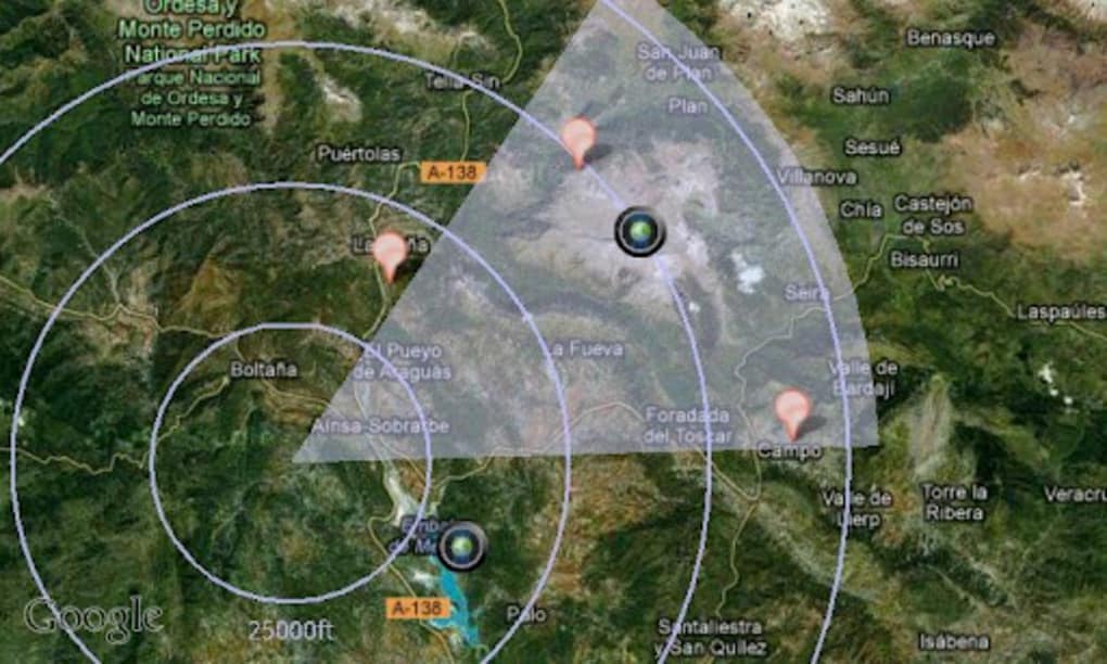
Apart from its obvious entertainment purposes, its full of practical features that can help you while out on your own. Find true north, magnetic north, map terrain while biking, sailing, etc., add marker to hike locations, such as base camp or water sources, and more. In a pinch, it’s an application that it more than deserving of a spot on your mobile device.